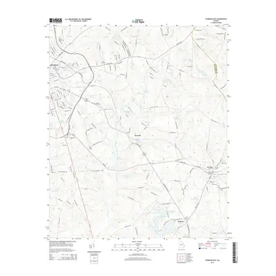
2014 Map of Thomson East
USGS Topo · Published 2014About this map
Thomson and Dearing serve as the primary hubs in this McDuffie County landscape, connected by the busy corridors of Ga-10 and Us-278. The terrain is defined by a dense network of small waterways and ponds, including Sweetwater Cr and Brier Cr, which drain the rolling woodlands. For the genealogist, the map is particularly rich in small family and community burial sites, from the centrally located Watson Family Cem and Ivory Family Cem to the Salem Cem and Iron Hill Cem further south.
Find a feature on this map
170 named features on this map. Tap any name to fly to it.
Don’t see what you’re looking for? This feature index may not catch every label — zoom into the map to look around manually.
Map Details
Editions of this 2014 Thomson East Map
This is the sole edition of this map. No revisions or reprints were ever made.
Other maps of this area

1892 · Mc Cormick
USGS Topo · 1:125,000

1906 · Crawfordville
USGS Topo · 1:125,000

1912 · Mc Cormick
USGS Topo · 1:125,000

1921 · Appling
USGS Topo · 1:62,500

1922 · Harlem
USGS Topo · 1:62,500

1943 · Appling
USGS Topo · 1:62,500

1948 · Harlem
USGS Topo · 1:62,500

1948 · Harlem
USGS Topo · 1:24,000

1948 · Thomson East
USGS Topo · 1:24,000

1950 · Dearing
USGS Topo · 1:24,000