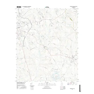
2017 Map of Thomson East
USGS Topo · Published 2017About this map
Thomson serves as a primary hub in this Georgia landscape, situated at the intersection of local routes and rail lines. The terrain is defined by a dense network of tributaries including Sweetwater Cr and Little Germany Cr, which feed numerous named bodies of water such as Howard Lake and Lokeys Pond. These water resources appear central to the area's development, as seen in the cluster of features around Boneville, including Boneville Pond and Boneville Stream.
Find a feature on this map
166 named features on this map. Tap any name to fly to it.
Don’t see what you’re looking for? This feature index may not catch every label — zoom into the map to look around manually.
Map Details
Editions of this 2017 Thomson East Map
This is the sole edition of this map. No revisions or reprints were ever made.
Other maps of this area

1892 · Mc Cormick
USGS Topo · 1:125,000

1906 · Crawfordville
USGS Topo · 1:125,000

1912 · Mc Cormick
USGS Topo · 1:125,000

1921 · Appling
USGS Topo · 1:62,500

1922 · Harlem
USGS Topo · 1:62,500

1943 · Appling
USGS Topo · 1:62,500

1948 · Harlem
USGS Topo · 1:62,500

1948 · Harlem
USGS Topo · 1:24,000

1948 · Thomson East
USGS Topo · 1:24,000

1950 · Dearing
USGS Topo · 1:24,000