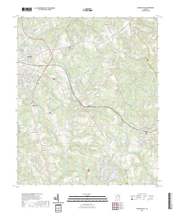
2024 Map of Thomson East
USGS Topo · Published 2024About this map
The McDuffie County Courthouse stands as a central landmark in the eastern portion of Thomson, anchoring a landscape defined by small-town hubs and a dense network of family and community cemeteries. Moving east along the Thomson Byp, the terrain transitions into the smaller rural settlements of Boneville and Dearing, where the local history is preserved in sites like the Dearing United Methodist Church Cem and the Watson Family Cem.
Find a feature on this map
63 named features on this map. Tap any name to fly to it.
Don’t see what you’re looking for? This feature index may not catch every label — zoom into the map to look around manually.
Map Details
Editions of this 2024 Thomson East Map
This is the sole edition of this map. No revisions or reprints were ever made.
Other maps of this area

1892 · Mc Cormick
USGS Topo · 1:125,000

1906 · Crawfordville
USGS Topo · 1:125,000

1912 · Mc Cormick
USGS Topo · 1:125,000

1921 · Appling
USGS Topo · 1:62,500

1922 · Harlem
USGS Topo · 1:62,500

1943 · Appling
USGS Topo · 1:62,500

1948 · Harlem
USGS Topo · 1:62,500

1948 · Harlem
USGS Topo · 1:24,000

1948 · Thomson East
USGS Topo · 1:24,000

1950 · Dearing
USGS Topo · 1:24,000