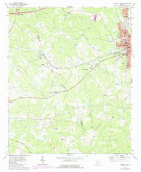
1972 Map of Thomson West
USGS Topo · Published 1987About this map
Thomson serves as a regional hub in eastern Georgia during the early 1970s, anchoring a landscape where small rural settlements and religious centers dot the terrain. The town's grid, featuring streets like Downing St and Lumpkin St, is a concentrated center for local government and education, housing the Courthouse, City Hall, and Armory Sch. To the west, the settlement of Mesena sits along the CSX rail line, while Plainview marks a crossroads to the southwest.
Find a feature on this map
49 named features on this map. Tap any name to fly to it.
Don’t see what you’re looking for? This feature index may not catch every label — zoom into the map to look around manually.
Map Details
Editions of this 1972 Thomson West Map
2 editions found
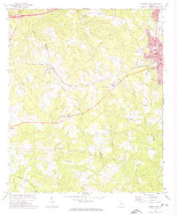
Other maps of this area

1892 · Mc Cormick
USGS Topo · 1:125,000

1906 · Crawfordville
USGS Topo · 1:125,000

1912 · Mc Cormick
USGS Topo · 1:125,000

1921 · Appling
USGS Topo · 1:62,500

1922 · Harlem
USGS Topo · 1:62,500

1943 · Appling
USGS Topo · 1:62,500

1948 · Harlem
USGS Topo · 1:62,500

1948 · Thomson East
USGS Topo · 1:24,000

1950 · Dearing
USGS Topo · 1:24,000
1950 · Bowdens Pond
USGS Topo · 1:24,000