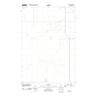
2010 Map of Thor NE
USGS Topo · Published 2010About this map
Rice River meanders extensively through the center of this Aitkin County quadrangle, defining a low-lying landscape shaped by numerous small waterways and wetlands. The drainage pattern is complex, with Dam Brook feeding into the river from the southwest and Beckman Creek joining from the east. This 2010 survey reflects a rural environment where land use is oriented around long-standing township roads such as Lee Twnsp Rd 122 and Dam Lake St. In the southern reaches, Jewitt Cemetery sits near Porcupine Lake, providing a specific point of interest for genealogists tracing local families. The presence of Section Five Creek in the northeast and Rice Lake in the northwest corners suggests a terrain largely undisturbed by dense development, characterized instead by a network of local routes like 330th Ln and 300th Ln that serve isolated homesteads and timber tracts.
Find a feature on this map
17 named features on this map. Tap any name to fly to it.
Don’t see what you’re looking for? This feature index may not catch every label — zoom into the map to look around manually.
Map Details
Editions of this 2010 Thor NE Map
This is the sole edition of this map. No revisions or reprints were ever made.
Other maps of this area

1953 · Duluth
USGS Topo · 1:250,000

1958 · Duluth
USGS Topo · 1:250,000

1969 · Solana
USGS Topo · 1:24,000

1969 · Thor NE
USGS Topo · 1:24,000

1969 · Thor SE
USGS Topo · 1:24,000

1969 · Thor SW
USGS Topo · 1:24,000

1969 · Thor
USGS Topo · 1:24,000

1969 · Split Rock Lake
USGS Topo · 1:24,000

1969 · Lawler
USGS Topo · 1:24,000

1970 · Kimberly
USGS Topo · 1:24,000