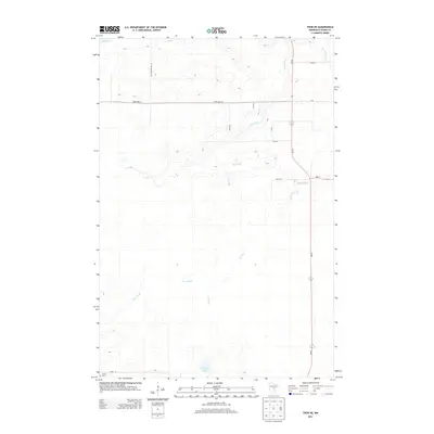
2013 Map of Thor NE
USGS Topo · Published 2013About this map
Rice River meanders through this section of Aitkin County, defining the drainage patterns of a landscape characterized by marshy lowlands and small tributaries. The water network is anchored by Rice Lake in the northwest and Porcupine Lake to the south, with Dam Brook and Beckman Cr feeding into the larger river system. This 2013 survey illustrates the modern rural infrastructure of the area, where straight-line township roads like Lee Township Rd 122 and Dam Lake St cut across the natural hydrology. For genealogists and local historians, the presence of the Jewitt Cem in the southwest corner provides a specific point of interest for family research within this sparsely populated wetland region.
Find a feature on this map
15 named features on this map. Tap any name to fly to it.
Don’t see what you’re looking for? This feature index may not catch every label — zoom into the map to look around manually.
Map Details
Editions of this 2013 Thor NE Map
This is the sole edition of this map. No revisions or reprints were ever made.
Other maps of this area

1953 · Duluth
USGS Topo · 1:250,000

1958 · Duluth
USGS Topo · 1:250,000

1969 · Solana
USGS Topo · 1:24,000

1969 · Thor NE
USGS Topo · 1:24,000

1969 · Thor SE
USGS Topo · 1:24,000

1969 · Thor SW
USGS Topo · 1:24,000

1969 · Thor
USGS Topo · 1:24,000

1969 · Split Rock Lake
USGS Topo · 1:24,000

1969 · Lawler
USGS Topo · 1:24,000

1970 · Kimberly
USGS Topo · 1:24,000