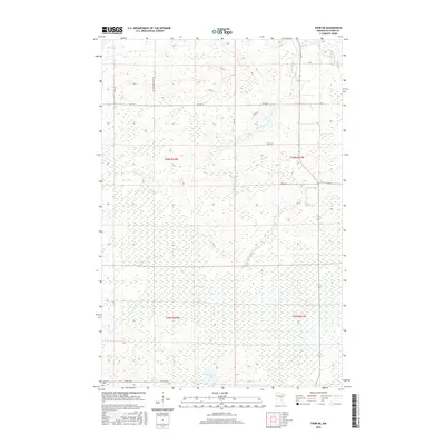
2016 Map of Thor NE
USGS Topo · Published 2016About this map
Rice River meanders through this portion of Aitkin County, defining a landscape dominated by wetlands and intricate water systems in the mid-2010s. The northern reaches are anchored by Rice Lake, while the southern terrain features the isolated Porcupine Lake and the winding course of Dam Brook. This area is characterized by its rural isolation, where the rectilinear grid of township boundaries like t46n r24w and t46n r23w meets a network of local access roads such as Lee Township Road 122 and the humorously named That Dam Rd. For those researching local history, the presence of Jewitt Cem near Jewett Rd in the southwest corner provides a specific point of interest for genealogical study within this largely undeveloped wetland environment.
Find a feature on this map
20 named features on this map. Tap any name to fly to it.
Don’t see what you’re looking for? This feature index may not catch every label — zoom into the map to look around manually.
Map Details
Editions of this 2016 Thor NE Map
This is the sole edition of this map. No revisions or reprints were ever made.
Other maps of this area

1953 · Duluth
USGS Topo · 1:250,000

1958 · Duluth
USGS Topo · 1:250,000

1969 · Solana
USGS Topo · 1:24,000

1969 · Thor NE
USGS Topo · 1:24,000

1969 · Thor SE
USGS Topo · 1:24,000

1969 · Thor SW
USGS Topo · 1:24,000

1969 · Thor
USGS Topo · 1:24,000

1969 · Split Rock Lake
USGS Topo · 1:24,000

1969 · Lawler
USGS Topo · 1:24,000

1970 · Kimberly
USGS Topo · 1:24,000