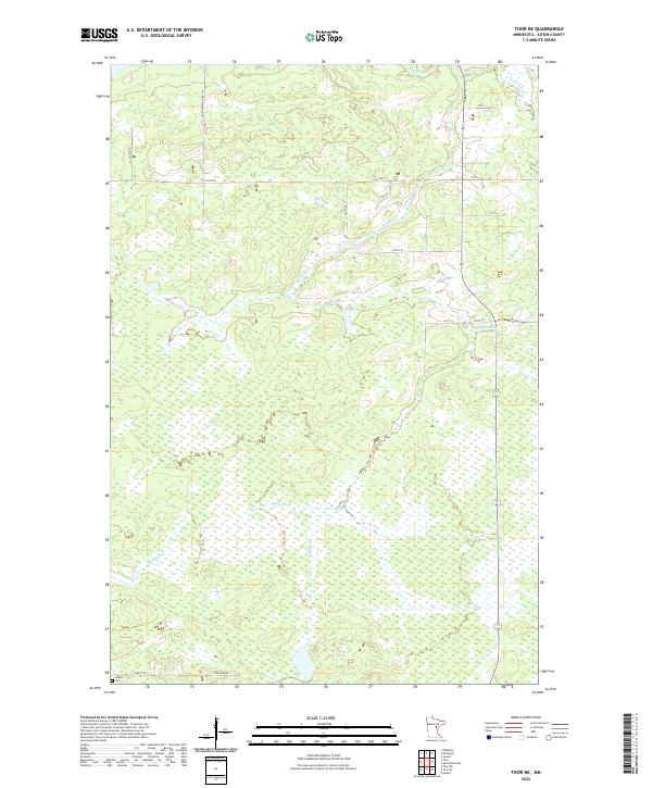
2022 Map of Thor NE
USGS Topo · Published 2022About this map
Rice River meanders across this northern Minnesota landscape, defining a terrain dominated by extensive wetlands and seasonal watercourses. The network of drainage includes Dam Brook, Beckman Cr, and Section Five Cr, illustrating the complex hydrology of Aitkin County. This area remains largely undeveloped, characterized by section lines and township boundaries like t46n r24w and t45n r23w that organize the marshy expanse.
Find a feature on this map
18 named features on this map. Tap any name to fly to it.
Don’t see what you’re looking for? This feature index may not catch every label — zoom into the map to look around manually.
Map Details
Editions of this 2022 Thor NE Map
This is the sole edition of this map. No revisions or reprints were ever made.
Other maps of this area

1953 · Duluth
USGS Topo · 1:250,000

1958 · Duluth
USGS Topo · 1:250,000

1969 · Solana
USGS Topo · 1:24,000

1969 · Thor NE
USGS Topo · 1:24,000

1969 · Thor SE
USGS Topo · 1:24,000

1969 · Thor SW
USGS Topo · 1:24,000

1969 · Thor
USGS Topo · 1:24,000

1969 · Split Rock Lake
USGS Topo · 1:24,000

1969 · Lawler
USGS Topo · 1:24,000

1970 · Kimberly
USGS Topo · 1:24,000