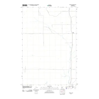
2010 Map of Thor SE
USGS Topo · Published 2010About this map
Snake River meanders through this portion of Aitkin County, defining the drainage and settlement patterns of this rural landscape. The small settlement of Dads Corner serves as a local navigational point at the junction of several county and local roads, illustrating the sparse but organized grid system of the region. Much of the northern terrain is influenced by the proximity of the Solana State Frst, where roads such as The Back Rd and Roth Rd provide access to the interior. For those researching local family history, the presence of Pliny Cemetery along the river's eastern bank offers a specific point of interest for genealogical study within this quiet, river-driven township.
Find a feature on this map
14 named features on this map. Tap any name to fly to it.
Don’t see what you’re looking for? This feature index may not catch every label — zoom into the map to look around manually.
Map Details
Editions of this 2010 Thor SE Map
This is the sole edition of this map. No revisions or reprints were ever made.
Other maps of this area

1953 · Duluth
USGS Topo · 1:250,000

1958 · Duluth
USGS Topo · 1:250,000

1968 · Kroschel NW
USGS Topo · 1:24,000

1968 · Isle
USGS Topo · 1:24,000

1968 · Mc Grath
USGS Topo · 1:24,000

1969 · Solana
USGS Topo · 1:24,000

1969 · Thor NE
USGS Topo · 1:24,000

1969 · Thor SE
USGS Topo · 1:24,000

1969 · Thor SW
USGS Topo · 1:24,000

1969 · Thor
USGS Topo · 1:24,000