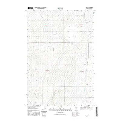
2016 Map of Thor SE
USGS Topo · Published 2016About this map
The Snake River winds through this heavily forested and wetland-rich landscape in Aitkin County, reflecting the transition of the northern Minnesota wilderness into a more structured agricultural and rural grid by the early 21st century. The map reveals a network of local roads that hint at the region's character and history, such as Fur Buyer Rd, Lonesome Trail Rd, and The Back Rd. For genealogists and local historians, the Pliny Cem serves as a critical point of interest in this sparsely populated area. The terrain is marked by township boundaries like t44n r23w and t45n r24w, illustrating the original survey sections that still define land ownership today. Infrastructure is primarily limited to county routes like Co Hwy 2 and Co Hwy 26, which connect the scattered homesteads and timber lands between the river and the various forest roads.
Find a feature on this map
23 named features on this map. Tap any name to fly to it.
Don’t see what you’re looking for? This feature index may not catch every label — zoom into the map to look around manually.
Map Details
Editions of this 2016 Thor SE Map
This is the sole edition of this map. No revisions or reprints were ever made.
Other maps of this area

1953 · Duluth
USGS Topo · 1:250,000

1958 · Duluth
USGS Topo · 1:250,000

1968 · Kroschel NW
USGS Topo · 1:24,000

1968 · Isle
USGS Topo · 1:24,000

1968 · Mc Grath
USGS Topo · 1:24,000

1969 · Solana
USGS Topo · 1:24,000

1969 · Thor NE
USGS Topo · 1:24,000

1969 · Thor SE
USGS Topo · 1:24,000

1969 · Thor SW
USGS Topo · 1:24,000

1969 · Thor
USGS Topo · 1:24,000