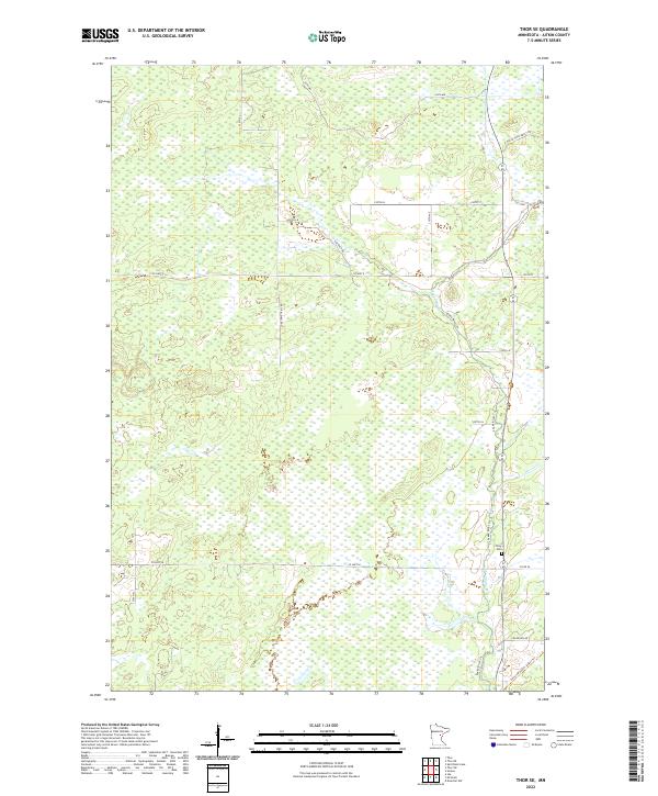
2022 Map of Thor SE
USGS Topo · Published 2022About this map
The Snake River meanders through this portion of Aitkin County, creating a distinct hydrological corridor surrounded by extensive wetlands and brushland. The landscape reflects a modern transition from industrial use to recreational conservation, notably preserved through the Soo Line South: Aitkin Trl, which follows a historic railroad alignment across the southeastern corner of the sheet. Local history is anchored by the Pliny Cem near the riverbanks, providing a primary point of interest for genealogists researching early settlement families in this area. A network of rural routes, including the descriptively named The Back Rd, Lonesome Trail Rd, and Fur Buyer Rd, weave through the townships, indicating the remote and wilderness-oriented character of the region as it appeared in the early 21st century.
Find a feature on this map
25 named features on this map. Tap any name to fly to it.
Don’t see what you’re looking for? This feature index may not catch every label — zoom into the map to look around manually.
Map Details
Editions of this 2022 Thor SE Map
This is the sole edition of this map. No revisions or reprints were ever made.
Other maps of this area

1953 · Duluth
USGS Topo · 1:250,000

1958 · Duluth
USGS Topo · 1:250,000

1968 · Kroschel NW
USGS Topo · 1:24,000

1968 · Isle
USGS Topo · 1:24,000

1968 · Mc Grath
USGS Topo · 1:24,000

1969 · Solana
USGS Topo · 1:24,000

1969 · Thor NE
USGS Topo · 1:24,000

1969 · Thor SE
USGS Topo · 1:24,000

1969 · Thor SW
USGS Topo · 1:24,000

1969 · Thor
USGS Topo · 1:24,000