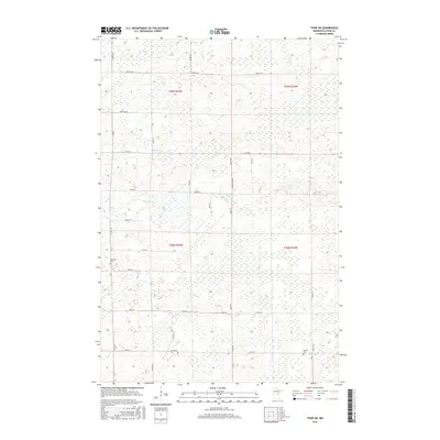
2016 Map of Thor SW
USGS Topo · Published 2016About this map
Lakeside Cem and Ostlund Cem anchor this 2016 survey of a low-lying landscape in Aitkin County. The terrain is defined by its intricate drainage patterns, including the winding courses of Seventeen Cr, Borden Cr, and Peterson Cr. This network of wetlands and small streams suggests a remote area where development is largely restricted to a grid of county and township roads. Local history and genealogy are highlighted by the presence of family-named routes and community landmarks such as Church Rd and Cemetery Rd. The map also captures the transitions between several township ranges, including t45n r25w and t44n r24w, illustrating how the Public Land Survey System continues to dictate the local geography and road placement.
Find a feature on this map
26 named features on this map. Tap any name to fly to it.
Don’t see what you’re looking for? This feature index may not catch every label — zoom into the map to look around manually.
Map Details
Editions of this 2016 Thor SW Map
This is the sole edition of this map. No revisions or reprints were ever made.
Other maps of this area

1916 · Wealthwood
USGS Topo · 1:62,500

1953 · Duluth
USGS Topo · 1:250,000

1958 · Duluth
USGS Topo · 1:250,000

1968 · Wahkon North
USGS Topo · 1:24,000

1968 · Isle
USGS Topo · 1:24,000

1968 · Mc Grath
USGS Topo · 1:24,000

1969 · Thor NE
USGS Topo · 1:24,000

1969 · Thor SE
USGS Topo · 1:24,000

1969 · Thor SW
USGS Topo · 1:24,000

1969 · Thor
USGS Topo · 1:24,000