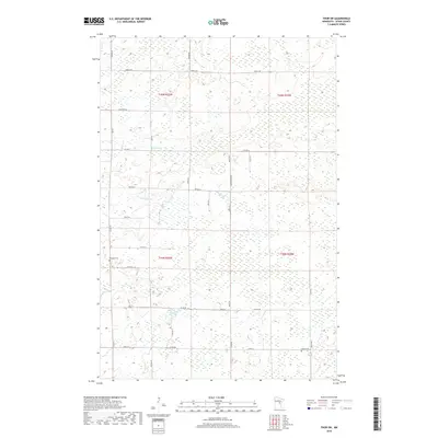
2019 Map of Thor SW
USGS Topo · Published 2019About this map
Borden Cr and Seventeen Cr wind through this heavily forested and wetland-rich landscape of Aitkin County, showing a rural region structured by a precise grid of township and range lines. The topography is dominated by low-lying marshland, particularly in the eastern sections where few roads penetrate the terrain. Cultural life is anchored by established landmarks such as Lakeside Cem and Ostlun Cem, which sit at the periphery of the more developed road corridors. The transportation network is a mix of county highways like Co HWY 2 and specifically named local routes including Horse Haven Rd and Beaver Rd. This 2019 survey documents the enduring rural character of central Minnesota, where isolated homesteads are connected by a network of named lanes and gravel roads that follow the edges of the numerous wetlands.
Find a feature on this map
38 named features on this map. Tap any name to fly to it.
Don’t see what you’re looking for? This feature index may not catch every label — zoom into the map to look around manually.
Map Details
Editions of this 2019 Thor SW Map
This is the sole edition of this map. No revisions or reprints were ever made.
Other maps of this area

1916 · Wealthwood
USGS Topo · 1:62,500

1953 · Duluth
USGS Topo · 1:250,000

1958 · Duluth
USGS Topo · 1:250,000

1968 · Wahkon North
USGS Topo · 1:24,000

1968 · Isle
USGS Topo · 1:24,000

1968 · Mc Grath
USGS Topo · 1:24,000

1969 · Thor NE
USGS Topo · 1:24,000

1969 · Thor SE
USGS Topo · 1:24,000

1969 · Thor SW
USGS Topo · 1:24,000

1969 · Thor
USGS Topo · 1:24,000