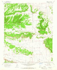
1963 Map of Thoreau NE
USGS Topo · Published 1966About this map
Atchison Topeka and Santa Fe railroad tracks run across the southern reaches of this McKinley County landscape, marking the primary transportation artery for the region in the early 1960s. The terrain is defined by the carved drainage systems of Casamero Draw and Mitchell Draw, which influence the placement of local homesteads such as Andrews Ranch and Elkins Ranch. Uranium mining activity is evident in the northeastern sector, specifically at the Moe Mine, alongside other scattered mines that highlight the industrial character of the era. The mapping also captures the complex topography of Rincon Canyon and the surrounding mesas, illustrating the relationship between the arid environment and the cattle ranching and mineral extraction industries that sustained these high-desert communities.
Find a feature on this map
11 named features on this map. Tap any name to fly to it.
Don’t see what you’re looking for? This feature index may not catch every label — zoom into the map to look around manually.
Map Details
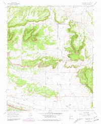
Editions of this 1963 Thoreau NE Map
2 editions found
Other maps of this area

1883 · Mt. Taylor
USGS Topo · 1:250,000

1886 · Wingate
USGS Topo · 1:250,000

1886 · Mt. Taylor
USGS Topo · 1:250,000

1892 · Wingate
USGS Topo · 1:250,000

1892 · Mt. Taylor
USGS Topo · 1:250,000

1899 · Mt. Taylor
USGS Topo · 1:250,000

1954 · Gallup
USGS Topo · 1:250,000

1957 · Bluewater
USGS Topo · 1:24,000

1957 · Goat Mountain
USGS Topo · 1:24,000

1958 · Gallup
USGS Topo · 1:250,000