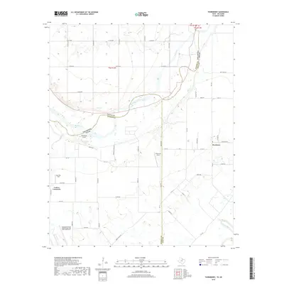
2019 Map of Thornberry
USGS Topo · Published 2019About this map
The Red River carves a complex boundary between Oklahoma and Texas, defining the northern geography of this region. Near the river's winding course, local landmarks like McFarland Island and water sources such as Lilly Spring and McFarland Spring emphasize the importance of the riparian landscape. The map captures the agricultural and aviation-focused character of the borderlands, where small airstrips like Klinkerman Airport and Dave Eby Field dot the rural countryside near the settlements of Thornberry and the Cashion Community.
Find a feature on this map
59 named features on this map. Tap any name to fly to it.
Don’t see what you’re looking for? This feature index may not catch every label — zoom into the map to look around manually.
Map Details
Editions of this 2019 Thornberry Map
This is the sole edition of this map. No revisions or reprints were ever made.
Other maps of this area

1915 · Burkburnett
USGS Topo · 1:24,000

1918 · Buckburnett
USGS Topo · 1:31,680

1954 · Wichita Falls
USGS Topo · 1:250,000

1955 · Lawton
USGS Topo · 1:250,000

1957 · Wichita Falls West
USGS Topo · 1:24,000

1957 · Burkburnett
USGS Topo · 1:62,500

1957 · Randlett
USGS Topo · 1:62,500

1957 · Wichita Falls East
USGS Topo · 1:62,500

1957 · Wichita Falls East
USGS Topo · 1:24,000

1957 · Wichita Falls West
USGS Topo · 1:62,500