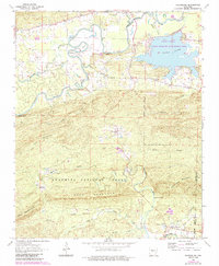
1963 Map of Thornburg
USGS Topo · Published 1984About this map
Harris Brake dominates the northeastern landscape of this mid-century survey, surrounded by a complex network of wetlands including Bull Slough and Tyndall Slough. The Fourche La Fave River winds through the northern territory, while the southern portion transition into the protected lands of the Ouachita National Forest. This era shows a community rooted in the land, with small settlements like Thornburg and Williams Junction connected by rural routes such as Huston Road. For genealogists, the map is remarkably dense with family-interest sites, documenting numerous burials at Perryville Cem, Cardon Cem, and Hope Cem. The landscape is punctuated by spiritual centers like Union Valley Ch and Antioch Ch, alongside natural landmarks such as Sausmann Falls and the high elevations of Long Mountain.
Find a feature on this map
45 named features on this map. Tap any name to fly to it.
Don’t see what you’re looking for? This feature index may not catch every label — zoom into the map to look around manually.
Map Details
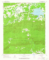
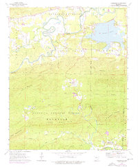
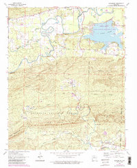
Editions of this 1963 Thornburg Map
4 editions found
Other maps of this area

1889 · Morrilton No. 3
USGS Topo · 1:62,500

1890 · Benton
USGS Topo · 1:125,000

1892 · Morrillton
USGS Topo · 1:125,000

1894 · Morrillton
USGS Topo · 1:125,000

1894 · Benton
USGS Topo · 1:125,000

1955 · Little Rock
USGS Topo · 1:250,000

1956 · Little Rock
USGS Topo · 1:250,000

1956 · Russellville
USGS Topo · 1:250,000

1960 · Little Rock
USGS Topo · 1:250,000

1961 · Perryville
USGS Topo · 1:24,000