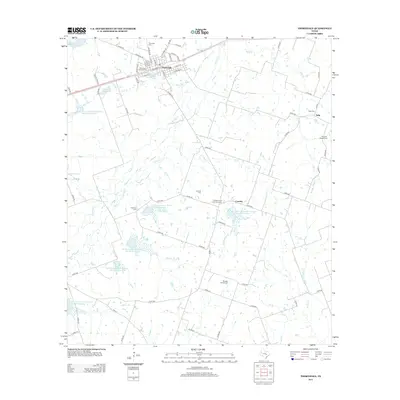
2012 Map of Thorndale
USGS Topo · Published 2012About this map
Thorndale serves as the primary hub of this Milam County landscape, where a dense grid of streets like W Front St and S Main St meet the railway. The surrounding countryside is defined by an extensive network of water management features, including several large catchments such as Soil Conservation Service Site 24 Reservoir and Soil Conservation Service Site 20 Reservoir. These sites, along with the meandering course of Brushy Cr, illustrate a highly managed rural environment dedicated to conservation and agriculture.
Find a feature on this map
78 named features on this map. Tap any name to fly to it.
Don’t see what you’re looking for? This feature index may not catch every label — zoom into the map to look around manually.
Map Details
Editions of this 2012 Thorndale Map
This is the sole edition of this map. No revisions or reprints were ever made.
Other maps of this area

1885 · Taylor
USGS Topo · 1:125,000

1885 · Bastrop
USGS Topo · 1:125,000

1887 · Taylor
USGS Topo · 1:125,000

1893 · Bastrop
USGS Topo · 1:125,000

1894 · Taylor
USGS Topo · 1:125,000

1904 · Bastrop
USGS Topo · 1:125,000

1948 · Elgin
USGS Topo · 1:62,500

1948 · Lexington
USGS Topo · 1:62,500

1950 · Lexington
USGS Topo · 1:62,500

1950 · Elgin
USGS Topo · 1:62,500