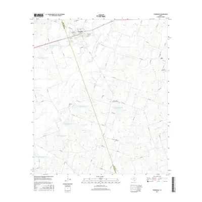
2016 Map of Thorndale
USGS Topo · Published 2016About this map
The boundary between Williamson and Milam Counties runs directly through this agricultural landscape, centered on the settlement of Thorndale. This era of land management is characterized by an extensive network of water conservation projects, including Soil Conservation Service Site 23 and several other numbered reservoirs designed to manage the watershed of Brushy Creek and Salty Creek. These sites reflect a mid-to-late 20th-century emphasis on flood control and soil stabilization across the Texas Blackland Prairies.
Find a feature on this map
73 named features on this map. Tap any name to fly to it.
Don’t see what you’re looking for? This feature index may not catch every label — zoom into the map to look around manually.
Map Details
Editions of this 2016 Thorndale Map
This is the sole edition of this map. No revisions or reprints were ever made.
Other maps of this area

1885 · Taylor
USGS Topo · 1:125,000

1885 · Bastrop
USGS Topo · 1:125,000

1887 · Taylor
USGS Topo · 1:125,000

1893 · Bastrop
USGS Topo · 1:125,000

1894 · Taylor
USGS Topo · 1:125,000

1904 · Bastrop
USGS Topo · 1:125,000

1948 · Elgin
USGS Topo · 1:62,500

1948 · Lexington
USGS Topo · 1:62,500

1950 · Lexington
USGS Topo · 1:62,500

1950 · Elgin
USGS Topo · 1:62,500