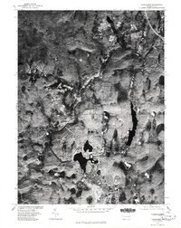
1976 Map of Thornhurst
USGS Topo · Published 1980About this map
Thornhurst and Clifton serve as the primary residential anchors in this mid-1970s orthophotoquad, which utilizes aerial imagery to show the evolving landscape of the Pocono region. The development patterns around Arrowhead Lake are clearly visible, with street grids carving into the dense woodland that dominates this portion of the plateau. This orthophotograph, prepared from imagery taken in late October, reveals the stark contrast between the natural curves of the Lehigh River and the engineered subdivisions of the era. To the east, the expansive waters of Bradys Lake stand as a significant geographical feature, surrounded by the heavy forest cover typical of this Pennsylvania terrain. The map provides a raw visual record of rural modernization and the transition from wilderness to recreational-residential use.
Find a feature on this map
5 named features on this map. Tap any name to fly to it.
Don’t see what you’re looking for? This feature index may not catch every label — zoom into the map to look around manually.
Map Details
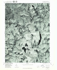
Editions of this 1976 Thornhurst Map
2 editions found
Other maps of this area

1889 · Scranton
USGS Topo · 1:62,500

1891 · Scranton
USGS Topo · 1:62,500

1893 · Scranton
USGS Topo · 1:62,500

1919 · Pocono
USGS Topo · 1:62,500

1921 · Pocono
USGS Topo · 1:62,500

1922 · Stoddartsville
USGS Topo · 1:62,500

1923 · Pocono
USGS Topo · 1:62,500

1924 · Stoddartsville
USGS Topo · 1:62,500

1928 · Ariel
USGS Topo · 1:62,500

1932 · Ariel
USGS Topo · 1:62,500
Featured Places
- Clifton Township, PA
- Thornhurst Township, PA
- Buck Township, PA
- Tobyhanna Township, PA
- Lehigh Township, PA