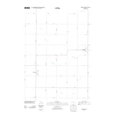
2013 Map of Thornton
USGS Topo · Published 2013About this map
Thornton and Meservey serve as the primary hubs in this section of Cerro Gordo County, where the landscape is defined by a strictly organized grid of agricultural roads and managed waterways. The drainage patterns of the region are evident in the courses of Bailey Cr and Otter Cr, supplemented by engineered features like Ditch Number 70 and Ditch Number 57, which support the productivity of the surrounding prairie land. The town of Thornton shows a clear residential structure centered around Main St and Larch St, while Meservey is situated to the southwest along Iowa St. This geography reflects a modern agricultural economy where transport is facilitated by a network of named avenues, such as Balsam Ave and Cardinal Ave, connecting the small town centers with the surrounding rural territory.
Find a feature on this map
38 named features on this map. Tap any name to fly to it.
Don’t see what you’re looking for? This feature index may not catch every label — zoom into the map to look around manually.
Map Details
Editions of this 2013 Thornton Map
This is the sole edition of this map. No revisions or reprints were ever made.
Other maps of this area

1954 · Mason City
USGS Topo · 1:250,000

1954 · Waterloo
USGS Topo · 1:250,000

1955 · Waterloo
USGS Topo · 1:250,000

1957 · Mason City
USGS Topo · 1:250,000

1958 · Mason City
USGS Topo · 1:250,000

1972 · Alexander
USGS Topo · 1:24,000

1972 · Thornton
USGS Topo · 1:24,000

1972 · Swaledale
USGS Topo · 1:24,000

1972 · Burchinal
USGS Topo · 1:24,000

1972 · Belmond
USGS Topo · 1:24,000