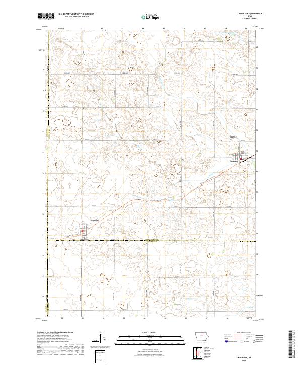
2022 Map of Thornton
USGS Topo · Published 2022About this map
Thornton and Meservey anchor this landscape at the intersection of Cerro Gordo, Franklin, Hancock, and Wright counties. The region is defined by a rigorous grid of section lines and drainage infrastructure, including Ditch Number 70 and Ditch Number 57, which manage the flow toward Bailey Cr and Otter Cr. These waterways reflect the agricultural engineering necessary to cultivate the prairie lands of north-central Iowa.
Find a feature on this map
49 named features on this map. Tap any name to fly to it.
Don’t see what you’re looking for? This feature index may not catch every label — zoom into the map to look around manually.
Map Details
Editions of this 2022 Thornton Map
This is the sole edition of this map. No revisions or reprints were ever made.
Other maps of this area

1954 · Mason City
USGS Topo · 1:250,000

1954 · Waterloo
USGS Topo · 1:250,000

1955 · Waterloo
USGS Topo · 1:250,000

1957 · Mason City
USGS Topo · 1:250,000

1958 · Mason City
USGS Topo · 1:250,000

1972 · Alexander
USGS Topo · 1:24,000

1972 · Thornton
USGS Topo · 1:24,000

1972 · Swaledale
USGS Topo · 1:24,000

1972 · Burchinal
USGS Topo · 1:24,000

1972 · Belmond
USGS Topo · 1:24,000