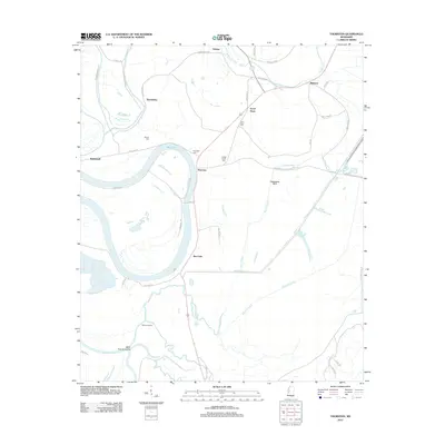
2012 Map of Thornton
USGS Topo · Published 2012About this map
The Yazoo River and the winding course of Tchula Lake define this Mississippi Delta landscape, where agricultural settlements are linked by a network of rural roads and levees. Small communities such as Thornton, Mileston, and Good Hope serve as the primary nodes of activity in a region heavily shaped by water management. The presence of Fannegusha Ditch, Black Cr Ditch, and Tipton Bayou reflects the extensive drainage systems required for the surrounding farmland.
Find a feature on this map
49 named features on this map. Tap any name to fly to it.
Don’t see what you’re looking for? This feature index may not catch every label — zoom into the map to look around manually.
Map Details
Editions of this 2012 Thornton Map
This is the sole edition of this map. No revisions or reprints were ever made.
Other maps of this area

1940 · Lexington
USGS Topo · 1:62,500

1940 · Mileston
USGS Topo · 1:62,500

1953 · Greenwood
USGS Topo · 1:250,000

1954 · Mileston
USGS Topo · 1:62,500

1955 · Jackson
USGS Topo · 1:250,000

1956 · Greenwood
USGS Topo · 1:250,000

1957 · Lexington
USGS Topo · 1:62,500

1958 · Lexington
USGS Topo · 1:62,500

1961 · Jackson
USGS Topo · 1:250,000

1961 · Valley
USGS Topo · 1:62,500