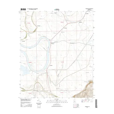
2015 Map of Thornton
USGS Topo · Published 2015About this map
The Yazoo River and the sweeping curves of Tchula Lake define this Mississippi Delta landscape, where several distinct settlements and family cemeteries are clustered along the fertile plains. The town of Thornton serves as a central point, surrounded by agricultural holdings and community markers such as the Thornton Cem. Further north, the communities of Good Hope and Quofaloma are reached via rural routes like Quafaloma Rd, while the Good Hope Cem and Brooks Cem provide important data points for genealogical research in this part of Holmes County.
Find a feature on this map
50 named features on this map. Tap any name to fly to it.
Don’t see what you’re looking for? This feature index may not catch every label — zoom into the map to look around manually.
Map Details
Editions of this 2015 Thornton Map
This is the sole edition of this map. No revisions or reprints were ever made.
Other maps of this area

1940 · Lexington
USGS Topo · 1:62,500

1940 · Mileston
USGS Topo · 1:62,500

1953 · Greenwood
USGS Topo · 1:250,000

1954 · Mileston
USGS Topo · 1:62,500

1955 · Jackson
USGS Topo · 1:250,000

1956 · Greenwood
USGS Topo · 1:250,000

1957 · Lexington
USGS Topo · 1:62,500

1958 · Lexington
USGS Topo · 1:62,500

1961 · Jackson
USGS Topo · 1:250,000

1961 · Valley
USGS Topo · 1:62,500