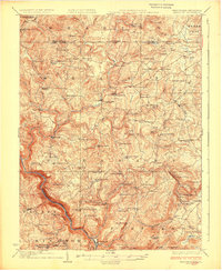
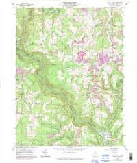
1926 Map of Thornton
USGS Topo · Published 1942About this map
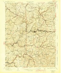
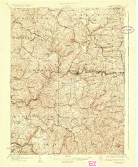
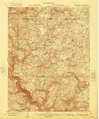
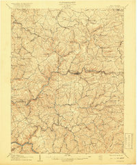
Highland ridges and deep creek valleys define this portion of North Central West Virginia, where the Baltimore and Ohio railroad corridor serves as the primary industrial spine. The topography is dotted with a dense network of early 20th-century social hubs, including the Trinne School and Slabcamp Church, indicating a landscape of distributed rural homesteads rather than concentrated urban centers. Large-scale infrastructure is present via a prominent power transmission line cutting across the terrain near Victoria.
Find a feature on this map
149 named features on this map. Tap any name to fly to it.
Don’t see what you’re looking for? This feature index may not catch every label — zoom into the map to look around manually.
Map Details
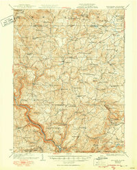
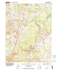
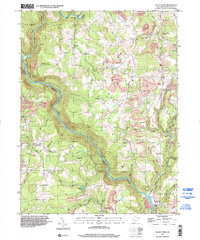
Editions of this 1926 Thornton Map
2 editions found
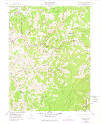
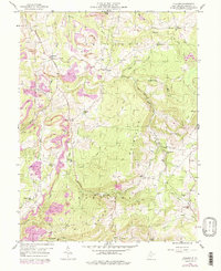
Historical Maps of Grafton Through Time
25 maps found
1904 Bruceton
Preston County, WV
1907 Thornton
Preston County, WV
1926 Bruceton
Preston County, WV
1926 Thornton
Preston County, WV
1933 Bruceton
Preston County, WV
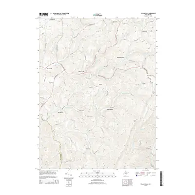
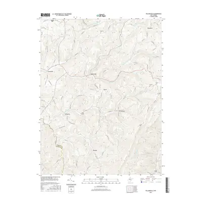
1958 Fellowsville
Preston County, WV
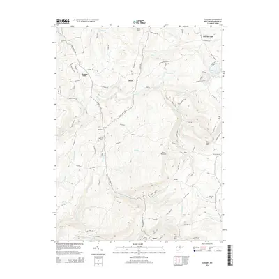
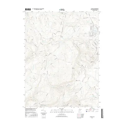
1959 Cuzzart
Preston County, WV
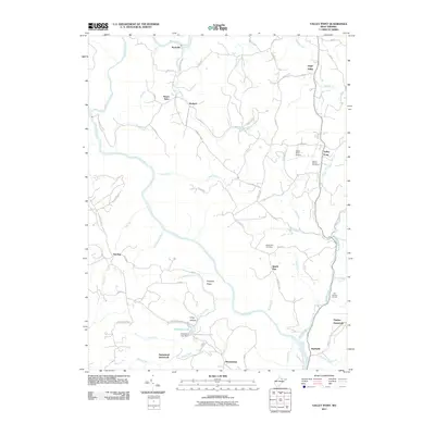
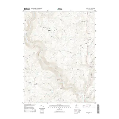
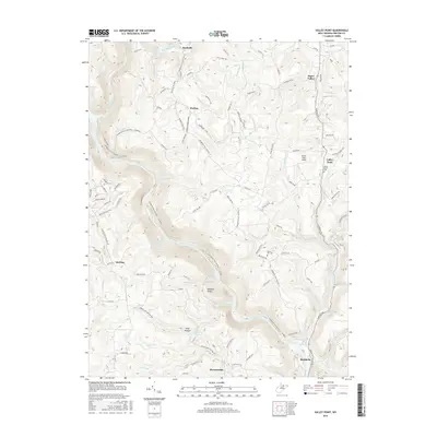
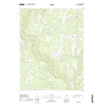
1959 Valley Point
Preston County, WV
1997 Cuzzart
Preston County, WV
1997 Valley Point
Preston County, WV
2011 Cuzzart
Preston County, WV
2011 Fellowsville
Preston County, WV
2011 Valley Point
Preston County, WV
2014 Cuzzart
Preston County, WV
2014 Fellowsville
Preston County, WV
2014 Valley Point
Preston County, WV
2016 Cuzzart
Preston County, WV
2016 Fellowsville
Preston County, WV
2016 Valley Point
Preston County, WV
2019 Cuzzart
Preston County, WV
2019 Fellowsville
Preston County, WV
2019 Valley Point
Preston County, WV
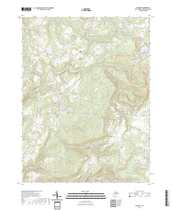
2023 Cuzzart
Preston County, WV
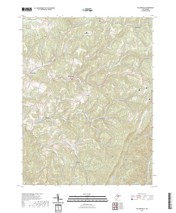
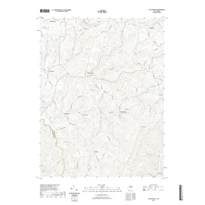
2023 Fellowsville
Preston County, WV
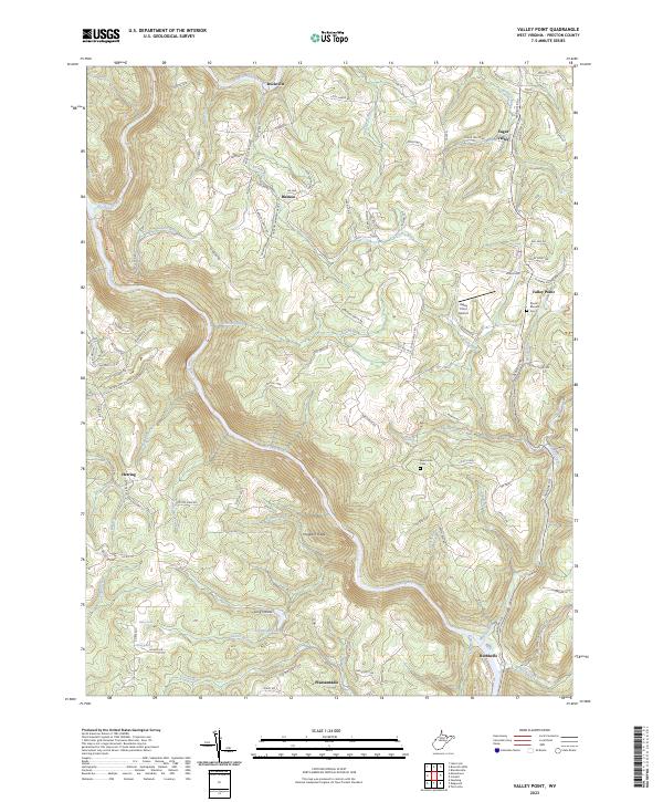
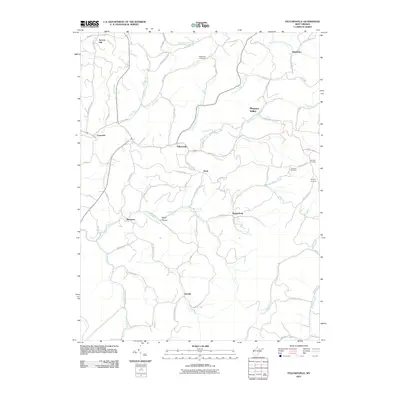
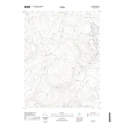
2023 Valley Point
Preston County, WV