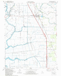
1978 Map of Thornton
USGS Topo · Published 1985About this map
Thornton serves as a central hub in this 1970s landscape of the Sacramento-San Joaquin Delta, where water management and agriculture define the terrain. The community is closely tied to the Mokelumne River and its intricate network of waterways, including Snodgrass Slough and the Delta Cross Channel. The presence of the West Thornton Gas Field and the Radio Tower (KMUV) suggests a mid-century period of industrial and communications growth. Large land holdings like the New Hope Tract, Canal Ranch, and Brack Tract illustrate the organized irrigation and agricultural development characteristic of the region. Transportation is anchored by two major rail lines, the Southern Pacific and Western Pacific, which cross near the town. Educational and social life is marked by the New Hope Sch, while recreational or transport access is found at New Hope Landing.
Find a feature on this map
42 named features on this map. Tap any name to fly to it.
Don’t see what you’re looking for? This feature index may not catch every label — zoom into the map to look around manually.
Map Details
Editions of this 1978 Thornton Map
2 editions found
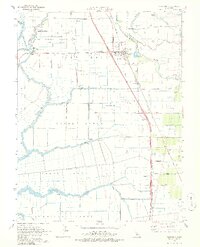
Other maps of this area

1894 · Lodi
USGS Topo · 1:125,000

1908 · Courtland
USGS Topo · 1:62,500

1910 · New Hope
USGS Topo · 1:31,680

1910 · Castle
USGS Topo · 1:31,680

1910 · Bouldin
USGS Topo · 1:31,680

1910 · Woodbridge
USGS Topo · 1:31,680

1910 · Bruceville
USGS Topo · 1:31,680

1910 · Headreach
USGS Topo · 1:31,680

1910 · Galt
USGS Topo · 1:31,680

1910 · Isleton
USGS Topo · 1:31,680