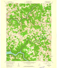
1958 Map of Thornton
USGS Topo · Published 1960About this map
The Tygart Valley River and the expanding Tygart Reservoir dominate the southwestern corner of this West Virginia landscape, where mid-century industrial activity met established rural communities. The Baltimore and Ohio Railroad follows the winding course of Three Fork Creek, serving the coal and clay industries concentrated around Thornton. This era shows a mix of extraction and recreation, with Tygart Lake State Park established along the water while a Silica Mine, Kilns, and various Strip Mines are active in the surrounding hills.
Find a feature on this map
64 named features on this map. Tap any name to fly to it.
Don’t see what you’re looking for? This feature index may not catch every label — zoom into the map to look around manually.
Map Details
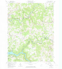
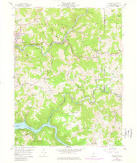
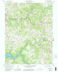
Editions of this 1958 Thornton Map
4 editions found
Other maps of this area

1886 · St. George
USGS Topo · 1:125,000

1891 · St. George
USGS Topo · 1:125,000

1902 · Fairmont
USGS Topo · 1:62,500

1904 · Philippi
USGS Topo · 1:62,500

1907 · Thornton
USGS Topo · 1:62,500

1907 · Belington
USGS Topo · 1:62,500

1923 · Fairmont
USGS Topo · 1:62,500

1925 · Philippi
USGS Topo · 1:62,500

1926 · Fairmont
USGS Topo · 1:62,500

1926 · Thornton
USGS Topo · 1:62,500