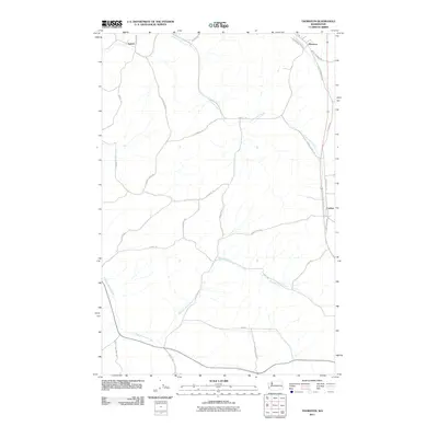
2011 Map of Thornton
USGS Topo · Published 2011About this map
Sunset and Thornton anchor the northern reaches of this Palouse landscape, where the drainage systems of Cottonwood Creek and Pleasant Valley Creek carve through the agricultural plateau. In the early 21st century, the map reveals a meticulously organized rural infrastructure defined by long-established family name roads such as Harry Davis Rd, Mcguire Rd, and Al Balline Rd. The eastern corridor is dominated by the transit line through Cashup, following the path of the Old Thornton Hwy. This survey illustrates the enduring relationship between the region's topography and its transportation network, from the small-town layout around Railroad St in Thornton to the sprawling reach of Cashup Flat Rd across the open country.
Find a feature on this map
30 named features on this map. Tap any name to fly to it.
Don’t see what you’re looking for? This feature index may not catch every label — zoom into the map to look around manually.
Map Details
Editions of this 2011 Thornton Map
This is the sole edition of this map. No revisions or reprints were ever made.
Other maps of this area

1903 · Oakesdale
USGS Topo · 1:125,000

1905 · Oakesdale
USGS Topo · 1:125,000

1910 · Pullman
USGS Topo · 1:125,000

1950 · Endicott
USGS Topo · 1:62,500

1955 · Pullman
USGS Topo · 1:250,000

1955 · Spokane
USGS Topo · 1:250,000

1958 · Spokane
USGS Topo · 1:250,000

1958 · Pullman
USGS Topo · 1:250,000

1964 · Diamond
USGS Topo · 1:24,000

1964 · St. John
USGS Topo · 1:24,000