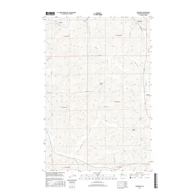
2017 Map of Thornton
USGS Topo · Published 2017About this map
Sunset and Thornton anchor the northern landscape of this Whitman County region, where the undulating terrain of the Palouse is carved by seasonal drainages and a dense network of country roads. The small settlements of Cashup and Pleasant Valley illustrate the historic agricultural distribution of the area, connected by routes such as the Old Thornton Hwy and Cashup Flat Rd. Water courses like Cottonwood Cr and Thorn Cr navigate the complex topography, while named landforms like Hastings Gulch provide specific landmarks for local history. The road network, including uniquely named thoroughfares like Washboard Rd and Barnes Cut-Off Rd, reflects the enduring rural infrastructure that has supported this wheat-growing country for generations.
Find a feature on this map
34 named features on this map. Tap any name to fly to it.
Don’t see what you’re looking for? This feature index may not catch every label — zoom into the map to look around manually.
Map Details
Editions of this 2017 Thornton Map
This is the sole edition of this map. No revisions or reprints were ever made.
Other maps of this area

1903 · Oakesdale
USGS Topo · 1:125,000

1905 · Oakesdale
USGS Topo · 1:125,000

1910 · Pullman
USGS Topo · 1:125,000

1950 · Endicott
USGS Topo · 1:62,500

1955 · Pullman
USGS Topo · 1:250,000

1955 · Spokane
USGS Topo · 1:250,000

1958 · Spokane
USGS Topo · 1:250,000

1958 · Pullman
USGS Topo · 1:250,000

1964 · Diamond
USGS Topo · 1:24,000

1964 · St. John
USGS Topo · 1:24,000