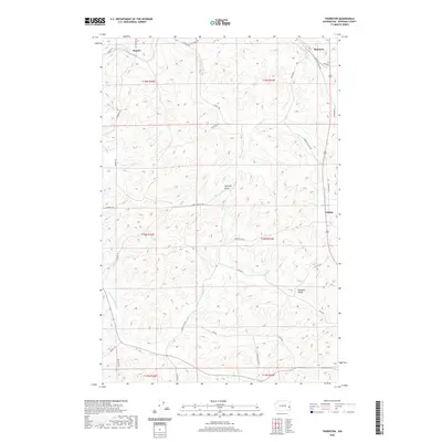
2020 Map of Thornton
USGS Topo · Published 2020About this map
Thornton and Sunset anchor this high-relief portion of Whitman County, where the agricultural landscape is deeply etched by winding drainages and a dense network of country roads. The terrain is defined by the branched valleys of Cottonwood Cr and Thorn Cr, while the named settlement of Cashup sits along the eastern corridor. The map reveals a transition in land use and transport, following routes like the Old Thornton Hwy and Cashup Flat Rd that trace the contours of the Palouse hills. Significant local landmarks such as Hastings Gulch and the drainage of Pleasant Valley Cr near Pleasant Valley illustrate the complex hydrography of the region. This 2020 survey provides a precise modern look at the rural township boundaries, including the intersection of t18n r43e and its neighbors, documenting the persistent settlement patterns of this farming country.
Find a feature on this map
35 named features on this map. Tap any name to fly to it.
Don’t see what you’re looking for? This feature index may not catch every label — zoom into the map to look around manually.
Map Details
Editions of this 2020 Thornton Map
This is the sole edition of this map. No revisions or reprints were ever made.
Other maps of this area

1903 · Oakesdale
USGS Topo · 1:125,000

1905 · Oakesdale
USGS Topo · 1:125,000

1910 · Pullman
USGS Topo · 1:125,000

1950 · Endicott
USGS Topo · 1:62,500

1955 · Pullman
USGS Topo · 1:250,000

1955 · Spokane
USGS Topo · 1:250,000

1958 · Spokane
USGS Topo · 1:250,000

1958 · Pullman
USGS Topo · 1:250,000

1964 · Diamond
USGS Topo · 1:24,000

1964 · St. John
USGS Topo · 1:24,000