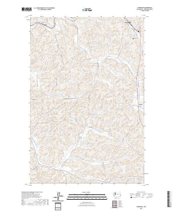
2023 Map of Thornton
USGS Topo · Published 2023About this map
Thornton stands as a focal point in this portion of Whitman County, situated near the headwaters of Thorn Creek. The landscape is defined by the high, rolling Palouse hills, where deep drainages like Hastings Gulch and Pleasant Valley break the agricultural expanse. To the west, the small settlement of Sunset sits along Cottonwood Creek, while Cashup marks a notable location to the southeast. Genealogists will find interest in the documented locations of Thornton Cem and Sheahan Cem, which preserve the names of early farming families in the region. The map reveals an extensive network of rural roads such as Washboard Rd and Elmer Huntley Rd, tracing the paths between homesteads and grain-handling points. This modern survey illustrates how the original land claims and township boundaries, including t19n r43e, continue to dictate the placement of local infrastructure and private property lines.
Find a feature on this map
37 named features on this map. Tap any name to fly to it.
Don’t see what you’re looking for? This feature index may not catch every label — zoom into the map to look around manually.
Map Details
Editions of this 2023 Thornton Map
This is the sole edition of this map. No revisions or reprints were ever made.
Other maps of this area

1903 · Oakesdale
USGS Topo · 1:125,000

1905 · Oakesdale
USGS Topo · 1:125,000

1910 · Pullman
USGS Topo · 1:125,000

1950 · Endicott
USGS Topo · 1:62,500

1955 · Pullman
USGS Topo · 1:250,000

1955 · Spokane
USGS Topo · 1:250,000

1958 · Spokane
USGS Topo · 1:250,000

1958 · Pullman
USGS Topo · 1:250,000

1964 · Diamond
USGS Topo · 1:24,000

1964 · St. John
USGS Topo · 1:24,000