
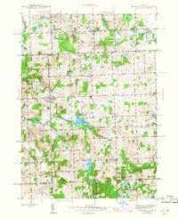
1945 Map of Thornville
USGS Topo · Published 1945About this map
The South Br Flint River winds through this 1945 landscape of southern Lapeer County, where the village of Thornville sits as a primary inland hub. Further east, the settlement of Dryden is established along a network of section-line roads, serving an area deeply rooted in rural community life. The map reveals a high density of local educational and social institutions, including the General Squier Community Club and several neighborhood schoolhouses like Whites Sch and Sutton Sch.
Find a feature on this map
65 named features on this map. Tap any name to fly to it.
Don’t see what you’re looking for? This feature index may not catch every label — zoom into the map to look around manually.
Map Details
Editions of this 1945 Thornville Map
3 editions found
Other maps of this area

1943 · Lake Orion
USGS Topo · 1:24,000

1943 · Oxford
USGS Topo · 1:24,000

1943 · Metamora
USGS Topo · 1:24,000

1943 · Romeo
USGS Topo · 1:24,000

1945 · Almont
USGS Topo · 1:24,000

1945 · Oxford
USGS Topo · 1:24,000

1945 · Romeo
USGS Topo · 1:24,000
1945 · Lake Orion
USGS Topo · 1:24,000

1946 · Metamora
USGS Topo · 1:24,000

1954 · Detroit
USGS Topo · 1:250,000