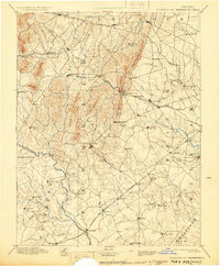
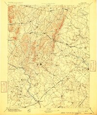
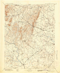
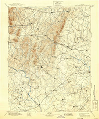
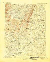
1894 Map of Thorofare Gap
USGS Topo · Published 1928About this map
The Bull Run Mountains dominate this late nineteenth-century landscape, acting as a natural barrier pierced by the critical passage at Thorofare Gap. This reconnaissance survey documents the transition from antebellum rural life to the industrializing era, where the Southern Railway and the Richmond and Danville R. R. began to reshape trade through Northern Virginia. Major settlements like Warrenton and Middleburg anchor a network of smaller post offices and villages, including Sudley Spring and Buckland.
Find a feature on this map
94 named features on this map. Tap any name to fly to it.
Don’t see what you’re looking for? This feature index may not catch every label — zoom into the map to look around manually.
Map Details
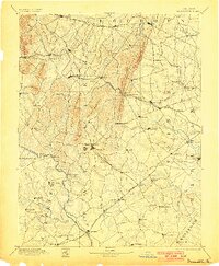
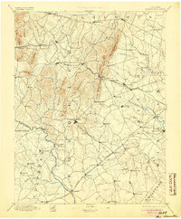
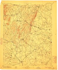
Editions of this 1894 Thorofare Gap Map
9 editions found

Other maps of this area

1884 · Harpers Ferry
USGS Topo · 1:125,000

1887 · Spottsylvania
USGS Topo · 1:125,000

1889 · Fredericksburg
USGS Topo · 1:125,000

1890 · Mt. Vernon
USGS Topo · 1:125,000

1891 · Harpers Ferry
USGS Topo · 1:125,000

1891 · Mt. Vernon
USGS Topo · 1:125,000

1892 · Fredericksburg
USGS Topo · 1:125,000

1892 · Spottsylvania
USGS Topo · 1:125,000

1892 · Gordonsville
USGS Topo · 1:125,000

1893 · Frederick
USGS Topo · 1:125,000