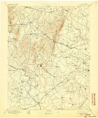
1894 Map of Warrenton
USGS Topo · Published 1905About this map
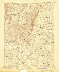
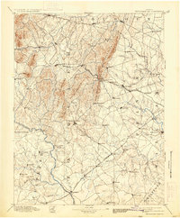
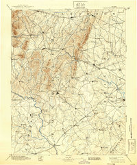
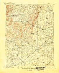
Warrenton sits at the heart of this late-nineteenth-century landscape, a vital regional hub where roads converge near Baldwin Ridge. The area is defined by the sharp verticality of the Bull Run Mountains and Pond Mountain, which create natural barriers only breached at points like Thorofare Gap. To the north, established settlements such as Upperville, Middleburg, and Aldie reflect the longstanding equestrian and agricultural traditions of the Piedmont.
Find a feature on this map
104 named features on this map. Tap any name to fly to it.
Don’t see what you’re looking for? This feature index may not catch every label — zoom into the map to look around manually.
Map Details
Editions of this 1894 Warrenton Map
9 editions found

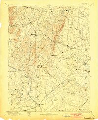
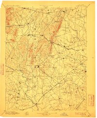
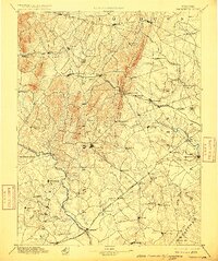
Other maps of this area

1884 · Harpers Ferry
USGS Topo · 1:125,000

1887 · Spottsylvania
USGS Topo · 1:125,000

1889 · Fredericksburg
USGS Topo · 1:125,000

1890 · Mt. Vernon
USGS Topo · 1:125,000

1891 · Harpers Ferry
USGS Topo · 1:125,000

1891 · Mt. Vernon
USGS Topo · 1:125,000

1892 · Fredericksburg
USGS Topo · 1:125,000

1892 · Spottsylvania
USGS Topo · 1:125,000

1892 · Gordonsville
USGS Topo · 1:125,000

1893 · Frederick
USGS Topo · 1:125,000