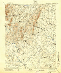
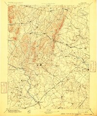
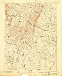
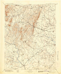
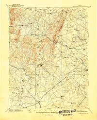
1894 Map of Thorofare Gap
USGS Topo · Published 1939About this map
The Bull Run Mountains and the dramatic passage at Thorofare Gap anchor this late-19th-century landscape, illustrating the critical geographic corridors of Northern Virginia. This reconnaissance survey, conducted by W.T. Griswold and E.C. Barnard, details a region defined by its transit networks, where the Virginia Midland R. R. and the Richmond and Danville R. R. converge near important market towns.
Find a feature on this map
99 named features on this map. Tap any name to fly to it.
Don’t see what you’re looking for? This feature index may not catch every label — zoom into the map to look around manually.
Map Details
Editions of this 1894 Thorofare Gap Map
9 editions found

Other maps of this area

1884 · Harpers Ferry
USGS Topo · 1:125,000

1887 · Spottsylvania
USGS Topo · 1:125,000

1889 · Fredericksburg
USGS Topo · 1:125,000

1890 · Mt. Vernon
USGS Topo · 1:125,000

1891 · Harpers Ferry
USGS Topo · 1:125,000

1891 · Mt. Vernon
USGS Topo · 1:125,000

1892 · Fredericksburg
USGS Topo · 1:125,000

1892 · Spottsylvania
USGS Topo · 1:125,000

1892 · Gordonsville
USGS Topo · 1:125,000

1893 · Frederick
USGS Topo · 1:125,000