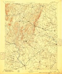
1894 Map of Warrenton
USGS Topo · Published 1915About this map
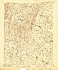
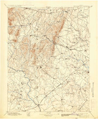
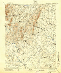
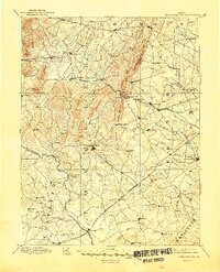
Warrenton serves as the focal point of this late 19th-century reconnaissance, situated at the convergence of Piedmont hills and fertile lowland plains. The landscape is defined by the prominent Bull Run Mountains, which create a natural barrier pierced only by the critical Thorofare Gap. This geological corridor dictated the path of the Virginia Midland Div railroad, anchoring a network of small trade centers like Haymarket and Gainesville. To the west, the terrain becomes increasingly complex with the Watery Mountains and Big Cobbler rising above the headwaters of the Rappahannock River. The map reveals a highly developed social geography through its numerous small settlements and mills, such as Sudley Spring and Aldie, which relied on the drainage of Goose Creek and Broad Run. These patterns of transit and topography highlight the area's strategic importance during the previous decades of conflict and its subsequent agricultural recovery.
Find a feature on this map
101 named features on this map. Tap any name to fly to it.
Don’t see what you’re looking for? This feature index may not catch every label — zoom into the map to look around manually.
Map Details
Editions of this 1894 Warrenton Map
9 editions found

Other maps of this area

1884 · Harpers Ferry
USGS Topo · 1:125,000

1887 · Spottsylvania
USGS Topo · 1:125,000

1889 · Fredericksburg
USGS Topo · 1:125,000

1890 · Mt. Vernon
USGS Topo · 1:125,000

1891 · Harpers Ferry
USGS Topo · 1:125,000

1891 · Mt. Vernon
USGS Topo · 1:125,000

1892 · Fredericksburg
USGS Topo · 1:125,000

1892 · Spottsylvania
USGS Topo · 1:125,000

1892 · Gordonsville
USGS Topo · 1:125,000

1893 · Frederick
USGS Topo · 1:125,000