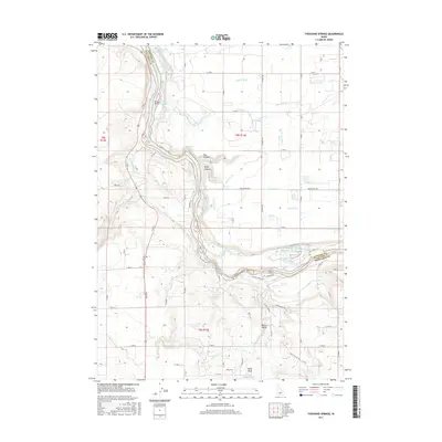
2017 Map of Thousand Springs
USGS Topo · Published 2017About this map
Thousand Springs and the canyon-cut path of the Snake River dominate this 2017 landscape along the border of Gooding and Twin Falls counties. The area is defined by its complex hydrography, where numerous springs and creeks emerge from the basalt cliffs. Notable geothermal and aquatic features include Hot Sulphur Springs, Blue Heart Springs, and Banbury Springs. The river's descent is marked by dramatic landmarks such as Devils Washbowl Falls and the churning Kanaka Rapids.
Find a feature on this map
47 named features on this map. Tap any name to fly to it.
Don’t see what you’re looking for? This feature index may not catch every label — zoom into the map to look around manually.
Map Details
Editions of this 2017 Thousand Springs Map
This is the sole edition of this map. No revisions or reprints were ever made.
Other maps of this area

1949 · Thousand Springs
USGS Topo · 1:24,000

1949 · Tuttle
USGS Topo · 1:24,000

1949 · Hagerman
USGS Topo · 1:24,000

1950 · Hagerman
USGS Topo · 1:24,000

1950 · Niagara Springs
USGS Topo · 1:24,000

1950 · Jerome
USGS Topo · 1:62,500

1951 · Thousand Springs
USGS Topo · 1:24,000

1951 · Tuttle
USGS Topo · 1:24,000

1951 · Clover
USGS Topo · 1:24,000

1954 · Thousand Springs
USGS Topo · 1:24,000