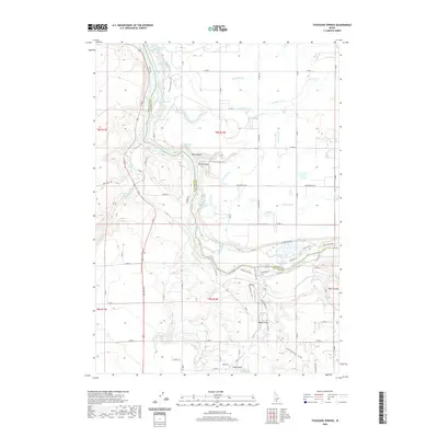
2020 Map of Thousand Springs
USGS Topo · Published 2020About this map
Thousand Springs cascades from the canyon walls into the Snake River in this Idaho landscape where water defines both the geology and the economy. The terrain is marked by deep incisions like Box Canyon and Blind Canyon, while the surface is networked with an intricate system of irrigation canals, including Lateral S-29 and Lateral S-19. These canals illustrate the massive engineering effort required to reclaim the arid plains for agriculture above the river's gorge.
Find a feature on this map
85 named features on this map. Tap any name to fly to it.
Don’t see what you’re looking for? This feature index may not catch every label — zoom into the map to look around manually.
Map Details
Editions of this 2020 Thousand Springs Map
This is the sole edition of this map. No revisions or reprints were ever made.
Other maps of this area

1949 · Thousand Springs
USGS Topo · 1:24,000

1949 · Tuttle
USGS Topo · 1:24,000

1949 · Hagerman
USGS Topo · 1:24,000

1950 · Hagerman
USGS Topo · 1:24,000

1950 · Niagara Springs
USGS Topo · 1:24,000

1950 · Jerome
USGS Topo · 1:62,500

1951 · Thousand Springs
USGS Topo · 1:24,000

1951 · Tuttle
USGS Topo · 1:24,000

1951 · Clover
USGS Topo · 1:24,000

1954 · Thousand Springs
USGS Topo · 1:24,000