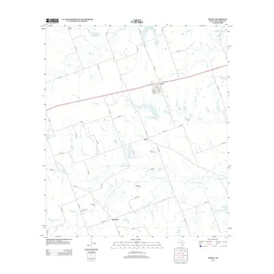
2012 Map of Thrall
USGS Topo · Published 2012About this map
The town of Thrall anchors this agricultural and industrial landscape in Williamson County, where the transition from rail-line settlements to oil exploration is evident. Development centers around the intersections of W Taylor St and S Main St, while the surrounding countryside is defined by the legacy of early 20th-century petroleum discovery. The map documents the Thrall Oil Field, Noack Oil Field, and Beyersville Oil Field, highlighting the region's long-standing energy economy.
Find a feature on this map
62 named features on this map. Tap any name to fly to it.
Don’t see what you’re looking for? This feature index may not catch every label — zoom into the map to look around manually.
Map Details
Editions of this 2012 Thrall Map
This is the sole edition of this map. No revisions or reprints were ever made.
Other maps of this area

1885 · Taylor
USGS Topo · 1:125,000

1885 · Bastrop
USGS Topo · 1:125,000

1887 · Taylor
USGS Topo · 1:125,000

1893 · Bastrop
USGS Topo · 1:125,000

1894 · Taylor
USGS Topo · 1:125,000

1904 · Bastrop
USGS Topo · 1:125,000

1948 · Elgin
USGS Topo · 1:62,500

1948 · Lexington
USGS Topo · 1:62,500

1950 · Lexington
USGS Topo · 1:62,500

1950 · Elgin
USGS Topo · 1:62,500