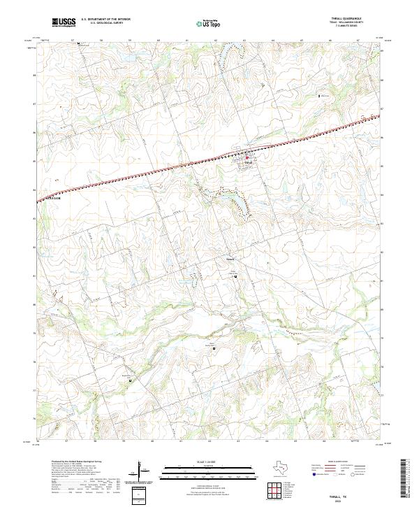
2022 Map of Thrall
USGS Topo · Published 2022About this map
The city of Thrall sits along the southern edge of the Blackland Prairie, serving as a focal point for this agrarian landscape in eastern Williamson County. Established along the railroad corridor, the town's street grid includes W Taylor St, N Barker St, and Eckart Ave, marking its development as a regional shipping point. Outside the town limits, the terrain is defined by a dense network of country roads and significant watercourses like Brushy Creek and Mustang Creek. For genealogists, the map is particularly detailed, documenting several legacy burial sites including the Wuthrich Cem, Stiles Cem, and the Oliver Family Cem. The presence of Noack and the edge of Taylor highlight the transition from small farming communities to larger municipal centers, while numerous sites like Site Number Two suggest archeological or historical points of interest within the rural landscape.
Find a feature on this map
64 named features on this map. Tap any name to fly to it.
Don’t see what you’re looking for? This feature index may not catch every label — zoom into the map to look around manually.
Map Details
Editions of this 2022 Thrall Map
This is the sole edition of this map. No revisions or reprints were ever made.
Other maps of this area

1885 · Taylor
USGS Topo · 1:125,000

1885 · Bastrop
USGS Topo · 1:125,000

1887 · Taylor
USGS Topo · 1:125,000

1893 · Bastrop
USGS Topo · 1:125,000

1894 · Taylor
USGS Topo · 1:125,000

1904 · Bastrop
USGS Topo · 1:125,000

1948 · Elgin
USGS Topo · 1:62,500

1948 · Lexington
USGS Topo · 1:62,500

1950 · Lexington
USGS Topo · 1:62,500

1950 · Elgin
USGS Topo · 1:62,500