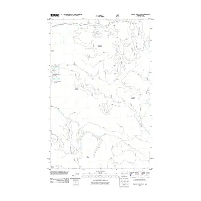
2011 Map of Thrapp Mountain
USGS Topo · Published 2011About this map
Thrapp Mountain and the surrounding high country of Okanogan County are defined by a network of drainage basins and mountain ridges. The terrain transitions from the heights of Pole Pick Mountain and Finley Mountain down into the valleys carved by Frazer Creek and Benson Creek. To the west, the landscape includes Wenner Lakes Number Three and Wenner Lakes Number Two, supported by structures such as the Wenner Lake Number Two Dam. The map documents the high-elevation road systems like Hooker Creek Rd that provide access to the area's natural resources. Evidence of local industry is preserved with the marking of the Red Shirt Mine near the western boundary. From Mount Leecher in the south to the northern reaches of the Chiliwist Creek headwaters, the survey illustrates a rugged timber and mining landscape that remains largely undeveloped.
Find a feature on this map
18 named features on this map. Tap any name to fly to it.
Don’t see what you’re looking for? This feature index may not catch every label — zoom into the map to look around manually.
Map Details
Editions of this 2011 Thrapp Mountain Map
This is the sole edition of this map. No revisions or reprints were ever made.
Other maps of this area

1899 · Methow
USGS Topo · 1:125,000

1901 · Methow
USGS Topo · 1:125,000

1905 · Okanogan
USGS Topo · 1:125,000

1954 · Okanogan
USGS Topo · 1:250,000

1955 · Concrete
USGS Topo · 1:250,000

1956 · Loup Loup
USGS Topo · 1:62,500

1957 · Brewster
USGS Topo · 1:62,500

1958 · Concrete
USGS Topo · 1:250,000

1958 · Okanogan
USGS Topo · 1:250,000

1962 · Concrete
USGS Topo · 1:250,000