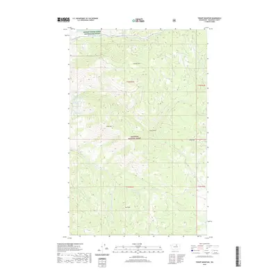
2020 Map of Thrapp Mountain
USGS Topo · Published 2020About this map
Okanogan National Forest covers much of this high-elevation landscape, where the peaks of Thrapp Mtn and Pole Pick Mtn dominate the horizon. In the northern reaches, the Methow Winter Range and Wildlife Refuge provides a protected corridor along the valley of Frazer Cr. The geography is defined by a series of steep drainages, including Finley Canyon and the headwaters of Benson Cr.
Find a feature on this map
21 named features on this map. Tap any name to fly to it.
Don’t see what you’re looking for? This feature index may not catch every label — zoom into the map to look around manually.
Map Details
Editions of this 2020 Thrapp Mountain Map
This is the sole edition of this map. No revisions or reprints were ever made.
Other maps of this area

1899 · Methow
USGS Topo · 1:125,000

1901 · Methow
USGS Topo · 1:125,000

1905 · Okanogan
USGS Topo · 1:125,000

1954 · Okanogan
USGS Topo · 1:250,000

1955 · Concrete
USGS Topo · 1:250,000

1956 · Loup Loup
USGS Topo · 1:62,500

1957 · Brewster
USGS Topo · 1:62,500

1958 · Concrete
USGS Topo · 1:250,000

1958 · Okanogan
USGS Topo · 1:250,000

1962 · Concrete
USGS Topo · 1:250,000