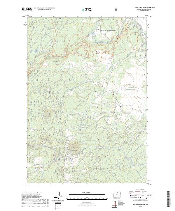
2023 Map of Three Creek Butte
USGS Topo · Published 2023About this map
Deschutes National Forest encompasses the entirety of this landscape on the eastern slopes of the Cascade Range. The topography is dominated by volcanic features like Three Creek Butte and Melvin Butte, while the water system relies on a complex network of natural streams and man-made irrigation infrastructure. The Whychus Creek Wild and Scenic River corridor is central to the area's hydrology, supplemented by diversions such as Smith Ditch and Plainview Ditch. A extensive network of equestrian and hiking paths, including the Metolius-Windigo Trl and the Peterson Ridge Trail East Trl, illustrates the modern-day focus on recreation and resource management. Historically significant watering holes like Black Pine Spring and Melvin Spring are vital markers for those tracing old pack routes through this high-desert forest.
Find a feature on this map
34 named features on this map. Tap any name to fly to it.
Don’t see what you’re looking for? This feature index may not catch every label — zoom into the map to look around manually.
Map Details
Editions of this 2023 Three Creek Butte Map
This is the sole edition of this map. No revisions or reprints were ever made.
Other maps of this area

1926 · Bend
USGS Topo · 1:125,000

1929 · Bend
USGS Topo · 1:125,000

1929 · Three Sisters
USGS Topo · 1:125,000

1932 · Three Sisters
USGS Topo · 1:125,000

1955 · Bend
USGS Topo · 1:250,000

1957 · Bend
USGS Topo · 1:250,000

1958 · Bend
USGS Topo · 1:250,000

1959 · Broken Top
USGS Topo · 1:62,500

1959 · Sisters
USGS Topo · 1:62,500
1962 · Henkle Butte
USGS Topo · 1:24,000