
1959 Map of Three Fingered Jack
USGS Topo · Published 1961About this map
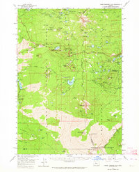
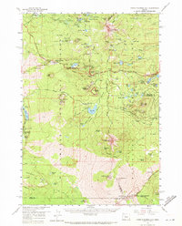
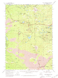
Three Fingered Jack and Mt Washington dominate this mid-century survey of the High Cascades, where the convergence of the Willamette National Forest and Deschutes National Forest reveals a landscape defined by volcanic activity. The presence of the Old Santiam Railroad Grade and the Cache Creek Toll Station points to a history of trans-mountain passage through the lava fields. This era shows the development of the Santiam Highway corridor, connecting Santiam Junction to recreation hubs like Suttle Lake and Blue Lake. Between the cinder pits and gravel pits, the network of paths including the Oregon Skyline Trail and Minto Pass Trail provided access to high-elevation water bodies like Duffy Lake and Big Lake, which were essential landmarks for forest management and back-country travel before more modern infrastructure arrived.
Find a feature on this map
102 named features on this map. Tap any name to fly to it.
Don’t see what you’re looking for? This feature index may not catch every label — zoom into the map to look around manually.
Map Details
Editions of this 1959 Three Fingered Jack Map
4 editions found
Other maps of this area

1927 · Mt. Jefferson
USGS Topo · 1:125,000

1929 · Mill City
USGS Topo · 1:125,000

1929 · Three Sisters
USGS Topo · 1:125,000

1930 · Mt. Jefferson
USGS Topo · 1:125,000

1932 · Three Sisters
USGS Topo · 1:125,000

1934 · Mc Kenzie Bridge
USGS Topo · 1:96,000

1940 · Mc Kenzie Bridge
USGS Topo · 1:125,000

1953 · Salem
USGS Topo · 1:250,000

1954 · Salem
USGS Topo · 1:250,000

1955 · Echo Mountain
USGS Topo · 1:62,500