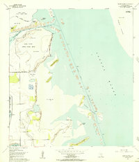
1954 Map of Three Islands
USGS Topo · Published 1957About this map
Laguna Atascosa National Wildlife Refuge dominates this mid-century coastal landscape, preserving a complex environment of sand, mud, and water along the Texas shoreline. The map documents the mid-1950s configuration of the Laguna Madre, showing the dredge operations that established the Intracoastal Waterway with its accompanying Spoil Area mounds. This industrial effort contrasts with the natural topography of the Three Islands chain and smaller features like Horse Island, Rattlesnake Island, and Yucca Island. Along the western shore, the transition from the Laguna Atascosa to land is marked by Red Head Bluff and the meandering Resaca de los Cuates. The mapping includes specific hydrographic details such as the Project Depth 12 Feet markings, illustrating the federal maritime engineering required to maintain this vital shipping corridor between the barrier of Padre Island and the mainland.
Find a feature on this map
34 named features on this map. Tap any name to fly to it.
Don’t see what you’re looking for? This feature index may not catch every label — zoom into the map to look around manually.
Map Details
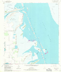
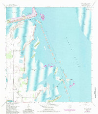
Editions of this 1954 Three Islands Map
3 editions found
Other maps of this area

1929 · La Coma
USGS Topo · 1:24,000

1929 · Buena Vista
USGS Topo · 1:24,000

1930 · Padre Island No. 1
USGS Topo · 1:24,000

1930 · La Leona
USGS Topo · 1:24,000

1930 · Padre Island No. 2
USGS Topo · 1:24,000

1930 · Laguna Atascosa
USGS Topo · 1:24,000

1934 · La Coma
USGS Topo · 1:31,680

1935 · Padre Island No 1
USGS Topo · 1:31,680

1935 · Padre Island NO. 2
USGS Topo · 1:31,680

1935 · Buena Vista
USGS Topo · 1:31,680