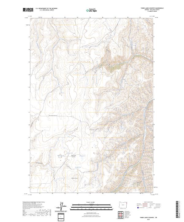
2023 Map of Three Lakes Country
USGS Topo · Published 2023About this map
Three Lakes Country defines this high-elevation landscape in Wallowa County, where a cluster of small water bodies including Sprudy Lake, Marshman Lake, and Nuxall Lake sit atop a plateau. To the south, Hayden Butte and Hayden Lake mark the transition toward more complex drainage systems. The terrain is deeply incised by numerous watercourses, most notably the headwaters of Little Sheep Creek and the divergent branches of Middle Fork Crow Creek and East Fork Crow Creek. This modern survey reveals a remote backcountry structured by ranching and limited access roads like Mark Conrad Ranch Rd. The network of canyons, including Box Canyon and Wolf Canyon, illustrates the seasonal flow patterns that have shaped the northeastern Oregon geography, while the presence of Rail Canyon Rd suggests the historical pathways through this high-country terrain.
Find a feature on this map
28 named features on this map. Tap any name to fly to it.
Don’t see what you’re looking for? This feature index may not catch every label — zoom into the map to look around manually.
Map Details
Editions of this 2023 Three Lakes Country Map
This is the sole edition of this map. No revisions or reprints were ever made.
Other maps of this area

1954 · Imnaha
USGS Topo · 1:62,500

1954 · Harl Butte
USGS Topo · 1:62,500

1955 · Grangeville
USGS Topo · 1:250,000

1957 · Joseph
USGS Topo · 1:62,500

1957 · Elk Mountain
USGS Topo · 1:62,500

1959 · Grangeville
USGS Topo · 1:250,000

1980 · Grangeville
USGS Topo · 1:100,000

1982 · Wallowa
USGS Topo · 1:100,000

1986 · Enterprise
USGS Topo · 1:100,000

1987 · Riggins
USGS Topo · 1:100,000