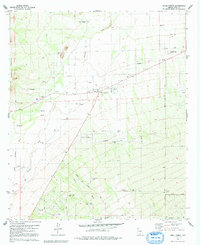
1979 Map of Three Points
USGS Topo · Published 1992About this map
Three Points and Robles Junction serve as the primary hubs in this desert landscape, where the flat basin meets the rising slopes of the Roskruge Mountains and Sierrita Mountains. The settlement pattern reflects the critical importance of water in this arid region, evidenced by a network of scattered resources like Beers Well, Spaulding Well, and Sierrita Tank. The Mary E Dill Sch stands as a community landmark at the central junction, while the surrounding terrain is marked by ranching infrastructure such as various corrals and the Diamond Bell Ranch Road.
Find a feature on this map
42 named features on this map. Tap any name to fly to it.
Don’t see what you’re looking for? This feature index may not catch every label — zoom into the map to look around manually.
Map Details
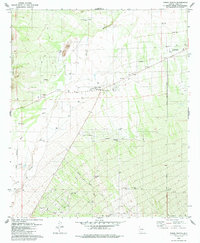
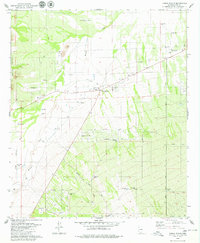
Editions of this 1979 Three Points Map
3 editions found
Other maps of this area

1920 · Arivaca
USGS Topo · 1:125,000

1925 · Samaniego Peak
USGS Topo · 1:62,500

1925 · San Xavier
USGS Topo · 1:62,500

1934 · Tucson Mountains
USGS Topo · 1:125,000

1939 · Twin Buttes
USGS Topo · 1:62,500

1940 · Palo Alto Ranch
USGS Topo · 1:62,500

1941 · Twin Buttes
USGS Topo · 1:62,500

1941 · Cocoraque Butte
USGS Topo · 1:62,500

1943 · Cocoraque Butte
USGS Topo · 1:62,500

1943 · Palo Alto Ranch
USGS Topo · 1:62,500