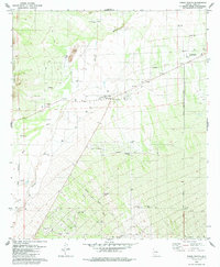
1979 Map of Three Points
USGS Topo · Published 1979About this map
Three Points and the neighboring Robles Junction serve as the focal points for this late-1970s desert landscape, where the valley floor meets the base of the Roskruge Mountains and the Sierrita Mountains. The intersection of state routes near the Mary E Dill Sch marks a transition from open rangeland to early suburban grid developments, evidenced by the emerging residential streets south of Diamond Bell Ranch Road.
Find a feature on this map
40 named features on this map. Tap any name to fly to it.
Don’t see what you’re looking for? This feature index may not catch every label — zoom into the map to look around manually.
Map Details
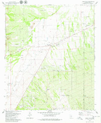
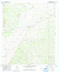
Editions of this 1979 Three Points Map
3 editions found
Other maps of this area

1920 · Arivaca
USGS Topo · 1:125,000

1925 · Samaniego Peak
USGS Topo · 1:62,500

1925 · San Xavier
USGS Topo · 1:62,500

1934 · Tucson Mountains
USGS Topo · 1:125,000

1939 · Twin Buttes
USGS Topo · 1:62,500

1940 · Palo Alto Ranch
USGS Topo · 1:62,500

1941 · Twin Buttes
USGS Topo · 1:62,500

1941 · Cocoraque Butte
USGS Topo · 1:62,500

1943 · Cocoraque Butte
USGS Topo · 1:62,500

1943 · Palo Alto Ranch
USGS Topo · 1:62,500