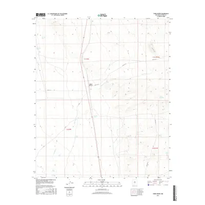
2017 Map of Three Rivers
USGS Topo · Published 2017About this map
Three Rivers serves as the focal point for this high-desert landscape in Otero County, where water sources dictate the patterns of human activity. The map reveals an intricate network of desert hydrology, featuring numerous developed water points such as Falls Ranch Spring, Aguilar Spring, and Kitty Spring that have long supported ranching in this arid environment. These natural springs are supplemented by man-made infrastructure like Boone Draw Tank and Chosa Tank, illustrating the ongoing effort to manage water resources across the basin. The terrain is further defined by seasonal drainages including New Well Draw and Sand Well Draw, which cut through the landscape toward the Three Rivers valley. Local travel is marked by remote corridors such as Snake Tank Rd and Forest Rd 579, which provide access to the foothills and isolated cattle tanks of the Tularosa Basin.
Find a feature on this map
23 named features on this map. Tap any name to fly to it.
Don’t see what you’re looking for? This feature index may not catch every label — zoom into the map to look around manually.
Map Details
Editions of this 2017 Three Rivers Map
This is the sole edition of this map. No revisions or reprints were ever made.
Other maps of this area
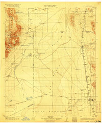
1916 · Tularosa
USGS Topo · 1:125,000
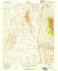
1947 · Three Rivers
USGS Topo · 1:62,500
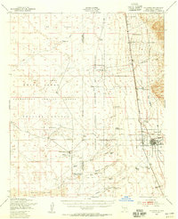
1948 · Tularosa
USGS Topo · 1:62,500
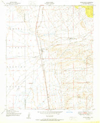
1950 · Three Rivers
USGS Topo · 1:24,000
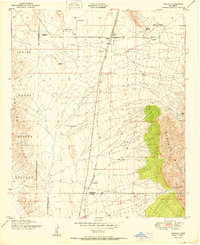
1950 · Oscura
USGS Topo · 1:24,000
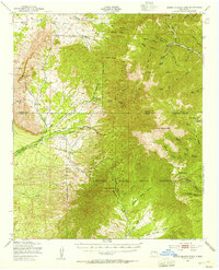
1950 · Sierra Blanca Peak
USGS Topo · 1:62,500
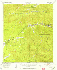
1950 · Mescalero
USGS Topo · 1:62,500

1954 · Tularosa
USGS Topo · 1:250,000

1955 · Roswell
USGS Topo · 1:250,000

1958 · Roswell
USGS Topo · 1:250,000