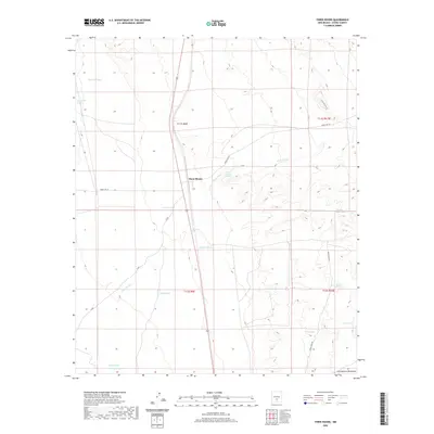
2020 Map of Three Rivers
USGS Topo · Published 2020About this map
Three Rivers serves as the central hub of this desert landscape in Otero County, positioned where drainage systems from the Sacramento Mountains reach the basin floor. The terrain is defined by a network of ephemeral watercourses including Crawford Draw, Boone Draw, and the eponymous Three Rivers. For those researching local land use, the map documents critical water sources in an arid environment, such as Falls Ranch Spring, Kitty Spring, and Aguilar Spring. These natural features, alongside man-made improvements like Chosa Tank and Boone Draw Tank, illustrate the ranching infrastructure necessary to sustain livestock and settlement in the Tularosa Basin. Modern access is marked by Forest Rd 579 and Snake Tank Rd, tracing the routes through the alluvial fans and draws that characterize this transition from mountain foothills to desert flats.
Find a feature on this map
21 named features on this map. Tap any name to fly to it.
Don’t see what you’re looking for? This feature index may not catch every label — zoom into the map to look around manually.
Map Details
Editions of this 2020 Three Rivers Map
This is the sole edition of this map. No revisions or reprints were ever made.
Other maps of this area

1916 · Tularosa
USGS Topo · 1:125,000

1947 · Three Rivers
USGS Topo · 1:62,500

1948 · Tularosa
USGS Topo · 1:62,500

1950 · Three Rivers
USGS Topo · 1:24,000

1950 · Oscura
USGS Topo · 1:24,000

1950 · Sierra Blanca Peak
USGS Topo · 1:62,500

1950 · Mescalero
USGS Topo · 1:62,500

1954 · Tularosa
USGS Topo · 1:250,000

1955 · Roswell
USGS Topo · 1:250,000

1958 · Roswell
USGS Topo · 1:250,000