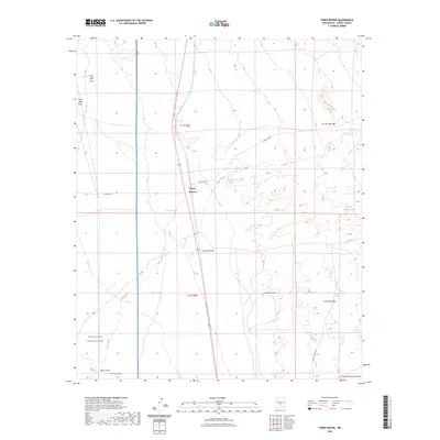
2023 Map of Three Rivers
USGS Topo · Published 2023About this map
Three Rivers serves as the primary focal point of this Otero County survey, situated where the high desert meets the western slopes of the Sacramento Mountains. The landscape is defined by its complex hydrology, featuring numerous draws and seasonal water sources like Sand Well Draw, Crawford Draw, and Rocky Arroyo. These features, alongside named springs such as Falls Ranch Spring and Aguilar Spring, illustrate the critical importance of water management in this arid environment, further evidenced by the presence of livestock-related infrastructure like Chosa Tank and Boone Draw Tank.
Find a feature on this map
24 named features on this map. Tap any name to fly to it.
Don’t see what you’re looking for? This feature index may not catch every label — zoom into the map to look around manually.
Map Details
Editions of this 2023 Three Rivers Map
This is the sole edition of this map. No revisions or reprints were ever made.
Other maps of this area

1916 · Tularosa
USGS Topo · 1:125,000

1947 · Three Rivers
USGS Topo · 1:62,500

1948 · Tularosa
USGS Topo · 1:62,500

1950 · Three Rivers
USGS Topo · 1:24,000

1950 · Oscura
USGS Topo · 1:24,000

1950 · Sierra Blanca Peak
USGS Topo · 1:62,500

1950 · Mescalero
USGS Topo · 1:62,500

1954 · Tularosa
USGS Topo · 1:250,000

1955 · Roswell
USGS Topo · 1:250,000

1958 · Roswell
USGS Topo · 1:250,000